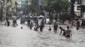
What the water knows: The unmaking of Bangladesh's haors

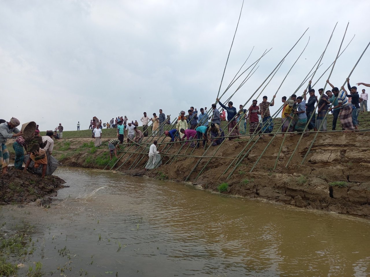
In the haor district of Habiganj, a narrow channel called the Bali Khal winds through a landscape that has always measured time by water. The oldest people living along its banks still remember leaping across it as children. They also remember the complaint of their fathers' generation: that the khal was breaking its banks and widening, swallowing land that families could scarcely afford to lose. A century and a half later, the same community walks the same bank in protest once again. Only the complaint has reversed. The Bali Khal is silting shut. What they march to save it from is no longer too much water, but water that can no longer move.
The easiest explanation for the haor's crisis is that climate change is bringing more water. That is true. Yet it explains only part of the story. It does not explain why the water now lingers, why floods that once arrived and departed have begun to settle into the landscape. What has happened to Bangladesh's great wetland basins—the deeply flooded bowls of Sunamganj, Habiganj, Kishoreganj and Netrokona—is more specific than weather. It is the unmapping of the haor: the conversion of a vertically layered landscape, where every elevation functioned both as productive land and as flood defence, into a single flat administrative surface. Once those layers disappear, the flood changes its nature. It ceases to be seasonal water around which the region was organised and instead becomes jalabaddha banna—a waterlogged flood, water that enters a damaged receiving system and then cannot leave.
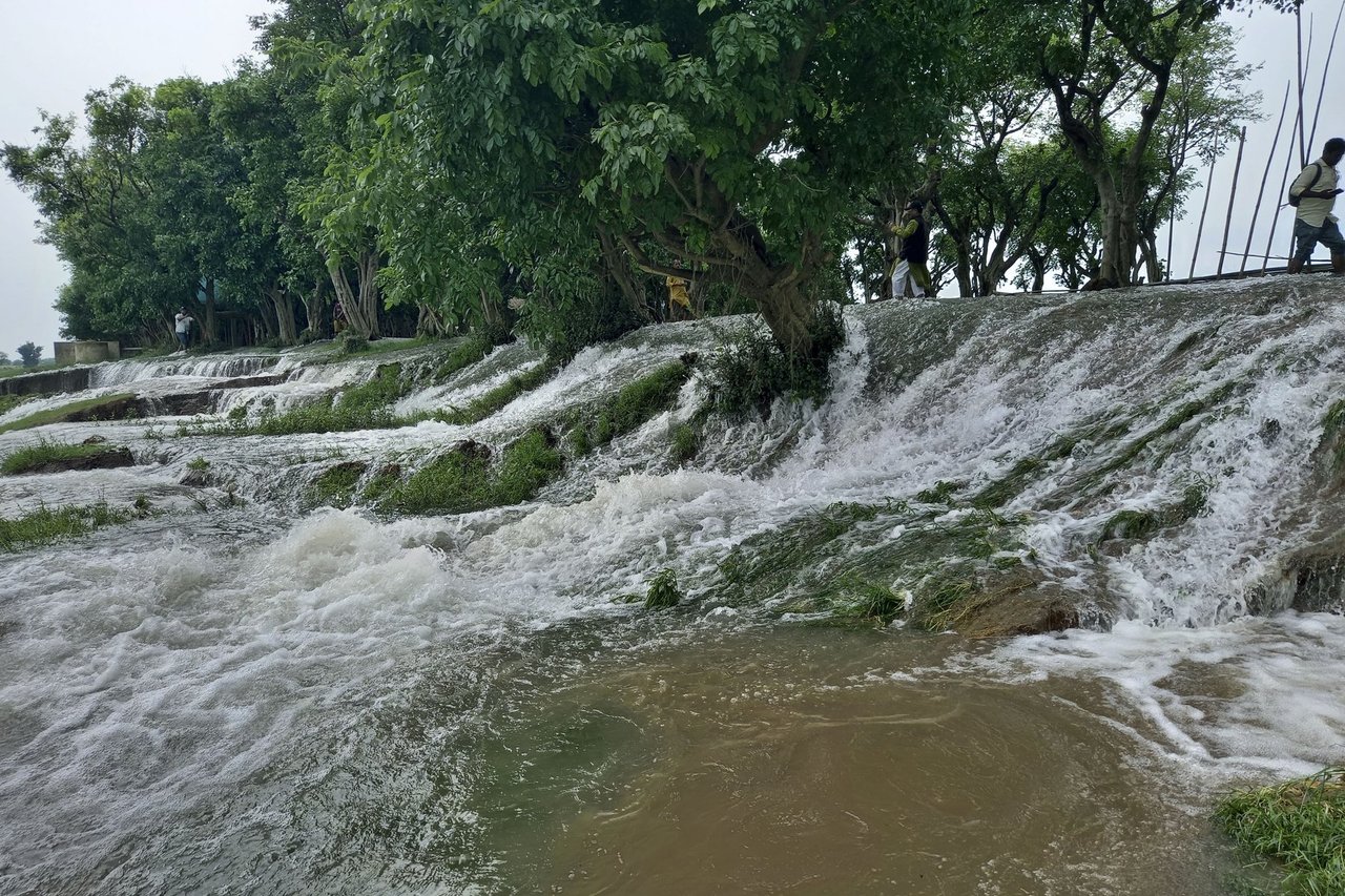
The haor was never flat, and its layers were never mere scenery. They were infrastructure. At the highest point stood the kanda, the raised homestead ground that kept villages above the flood line. Below it lay the bistra—narrow strips of land used for vegetables and dry-season crops. Further down stretched a belt of vegetation known as jangal, which functioned as a hydraulic valve. Farmers opened it during the month of Poush to drain the basin and expose the planting land, then closed it again with earth in the month of Chaitra to hold back the water until the harvest was ready. Beneath that stood the swamp forests known as hijalbag and korochbag—dense groves of hijal and koroch that broke waves, prevented erosion, and sheltered livestock. Beyond them lay the beel, the deepest body of water, which never ran dry. Together, these eight or ten ecological steps formed an intricately layered landscape, each level supporting its own crops, fisheries, livelihoods and patterns of settlement. This was indigenous knowledge. It was not folklore. It was a working map.
Modern planning began by behaving as though that map did not exist. From the 1960s onwards, the Green Revolution demanded land that could be standardised with high-yielding seed, synthetic fertiliser and machine irrigation. But the haor was never designed to serve only one purpose. It was farmland in one season and a waterway in the next. To reduce it to a rice bowl was to flatten not merely its landscape but its intelligence.
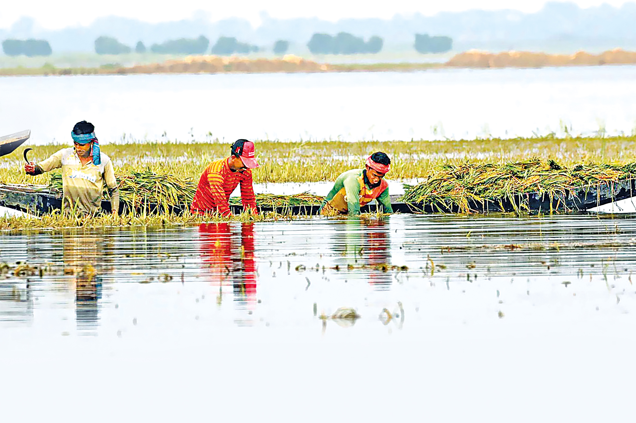
The swamp forests were cleared. Canal-digging schemes cut across centuries-old drainage routes. Crop-protection embankments—the fasal rakkha bandh—were raised to defend the single boro harvest, while the earth used to build them was taken from the kanda and the jangal, the very zones that had once absorbed and redirected floodwater. On the surface, the fields appeared protected. In reality, the landscape had been fundamentally re-engineered. At the same time, control over the wetlands shifted into the hands of the state and locally powerful actors through the ijara leasing system, transforming living water bodies into parcels of revenue.
A haor under lease is stocked, fenced, and dosed with whatever raises the catch. The flattened landscape serves the leaseholder, the embankment contractor, and the developer filling the kanda to build a resort. Its simplicity is not accidental; it is structurally advantageous. It is not advantageous, however, to the farmhand who still reads the sky to make a living.
A society does not become resilient by forgetting how water works. It merely becomes more vulnerable, and is then praised for surviving the vulnerability it created.
Two older technologies reveal what was lost when the haor's map was flattened. The first is seed. One of the earliest research stations devoted to deep-water rice opened at Nagura in Habiganj in 1934. Its staff were not classified as agriculturists but as economic botanists. Their work was, in essence, an archive of adaptation. They collected rice varieties—godjalaki, lakhai, tipigul—that generations of farmers had bred not to resist rising water but to live with it. The intelligence lay in the seed itself. A variety bred solely for high yields may survive ordinary conditions, yet prolonged flooding leaves it waterlogged and rotten. Deep-water rice follows a different logic. It treats floodwater not as an aberration but as the environment for which it evolved.
The second technology was forecasting, preserved not in instruments but in memory. A proverb carried the forecast: pube'r afal khay dhan, pashchime'r afal bay ban—the cresting wave from the east devours the rice; the wave from the west brings the flood. Encoded within those words was a hydrological clock.

When monsoon clouds gathered over the Meghalaya hills to the north, the forests covering those slopes slowed the descending water by two or three days. That delay was everything. It gave households just enough time to harvest their paddy, move their cattle, secure their boats, and prepare for the flood. The forest did more than hold soil. It kept time. Survival depended on knowing how to read it.
The argument must nevertheless confront its strongest objection: that the haor's predicament is ultimately determined by geography rather than human action. The rainfall over the Meghalaya foothills, upstream of the haor, ranks among the heaviest anywhere on earth. The basin was always destined to flood, and a warming atmosphere is only increasing that burden. Was the Green Revolution not, therefore, a genuine achievement? Was deep-water rice not a lower-yielding crop that a food-insecure country was justified in abandoning?
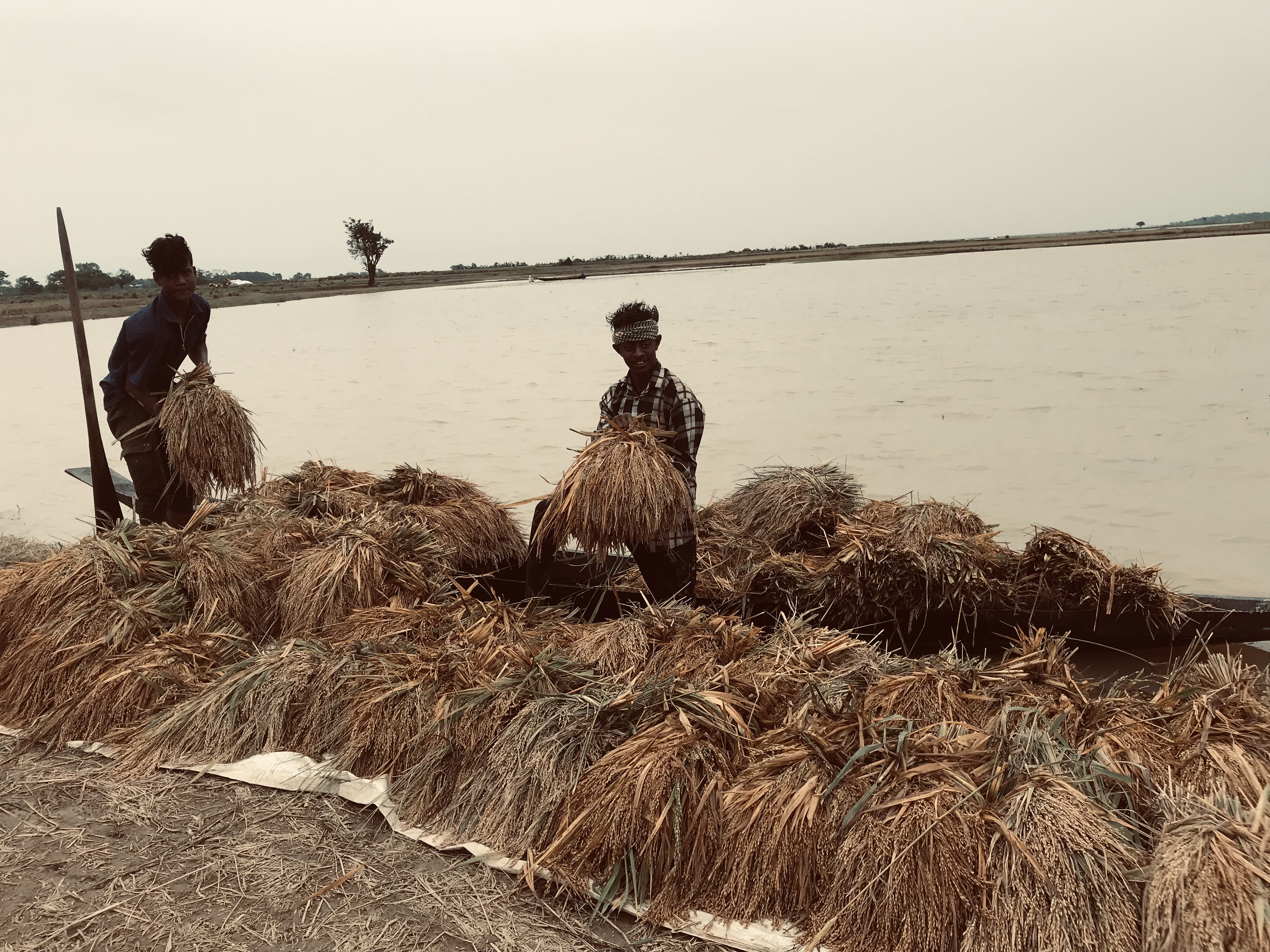
Grant every point. Boro production did increase. The rainfall is both real and intensifying. Yet seasonal water was never, by itself, the catastrophe. In the songs of Radharaman, Hason Raja and Ukil Munshi, the monsoon is remembered as the season of weddings, journeys and abundance, not of ruin. During the twelve years that the Scottish collector Robert Lindsay administered eighteenth-century Sylhet, his memoir recorded limestone, cowrie wealth and commerce, but nothing resembling today's trapped water. The strongest evidence lies in the old proverb that has ceased to work. It failed not because the knowledge was mistaken but because the landscape it described has been remade. Upstream, rivers have been dammed, embanked and mined across the border in north-east India. Downstream, Bangladeshi channels have silted up, narrowed and been encroached upon. Water still arrives, but it no longer has a route to leave. It spreads, stagnates and pools.
These facts do not weaken the argument; they sharpen it. Call the disaster natural, and the explanation ends with the weather. Call it only climate change, and responsibility dissolves into the atmosphere. Recognise it instead as the consequence of blocked flow, and the danger is no longer simply the arrival of water but the obstruction of its movement. Obstruction, unlike rainfall, has authors.
Those who first looked upon the layered wetland as flat land were known by an old term: abadi, or settler-cultivators. Many abadi were themselves people displaced by the Assam expulsions and by erosion upstream; their migration was itself an ecological history. Yet the abadi way of seeing transformed the jangal into wasteland, the swamp forest into empty ground, and deep-water rice into backward agriculture. In clearing them away, it also erased the institutional memory that had once made water legible.
That is the history preserved in Bali Khal. Its descendants now struggle to keep open the very channel their ancestors once struggled to restrain. Recognition arrives, as it so often does, only after the knowledge that sustained a landscape has been broken. A society does not become resilient by forgetting how water works. It merely becomes more vulnerable, and is then praised for surviving the vulnerability it created.
Khairul Hassan Jahin is a journalist at The Daily Star. He can be reached at khairul.jahin@thedailystar.net
Send your articles for Slow Reads to slowreads@thedailystar.net. Check out our submission guidelines for details.

Who writes the history of the July Uprising?
How violence against women is normalised in Bangladesh's chars

Why Bangladesh must invest in community-led early childhood education
The moral architecture of Bangladesh’s parliament

Why Bangladesh innovates but rarely builds global companies
Beyond groundwater: Rethinking Barind's water crisis

The gods that we build: AI and the future of moral authority
Remembering Mahbub ul Haq: A pioneer of human development ideas
What would make Dhaka a good city?