


A case for making geological assessment a standard practice in Bangladesh

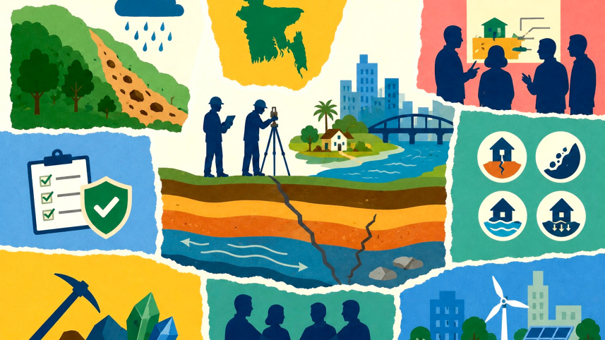
A geological assessment of an area usually entails a systematic and comprehensive evaluation of both surface and subsurface conditions through an array of surveys, testing, and analyses. Substantially more extensive than a routine soil test, a thorough geological assessment provides in-depth insights into soil and rock properties, geological structure and tectonics, groundwater regimes, drainage patterns, geochemical characteristics, mineral resources, and potential geohazards such as earthquakes, landslides, liquefaction and subsidence. Adopting detailed geological assessments as a standard practice in development planning is, therefore, critical to ensuring safer and more sustainable outcomes.
In Bangladesh, the Geological Survey of Bangladesh (GSB) serves as the primary authority for systematic geological mapping, geological resource assessment, and geohazard studies. However, several other bodies run such studies and research, such as the Bangladesh Water Development Board, Bangladesh Atomic Energy Commission, Bangladesh Council of Scientific and Industrial Research, Bangladesh Oceanographic Research Institution, Petrobangla, and several universities that offer geological sciences and mining programmes, among others. Bangladesh’s geology—characterised by soft unconsolidated sediments, tectonic activity along active faults, and diverse terrain from deltas to hilly regions—makes site-specific geological assessments indispensable.

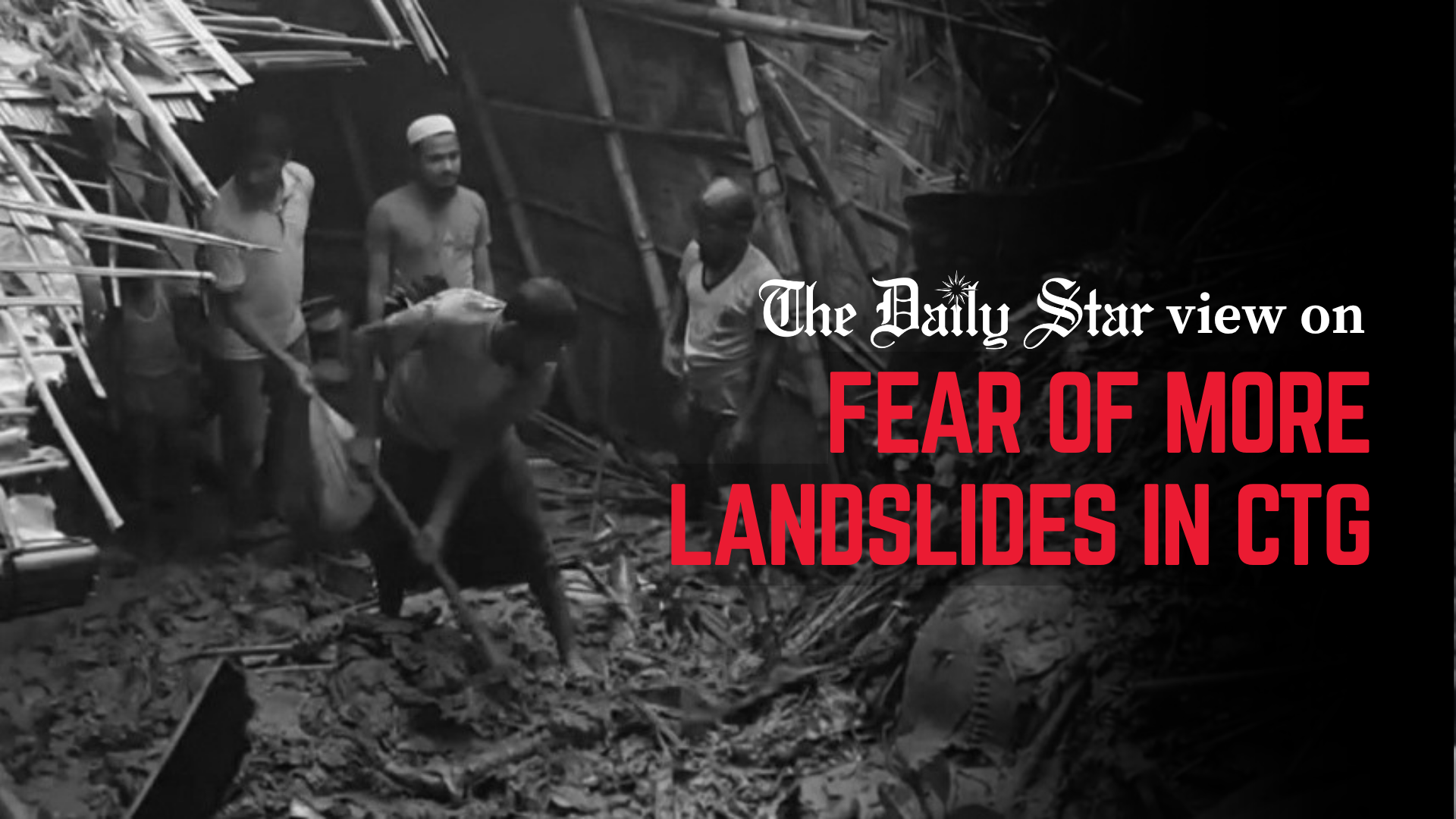
Against this backdrop, recent floods and landslides in the Chattogram division have again highlighted the serious risks associated with development in geologically sensitive areas. Many large-scale projects in hilly and low-lying regions have faced challenges where site-specific geological and geotechnical considerations were limited. In several cases, construction on steep slopes and modifications to natural drainage systems have amplified the impacts of heavy monsoon rains, contributing to landslides, flash floods, and prolonged waterlogging.
When assessing a certain area, geologists provide engineers and planners with critical data on subsurface conditions, enabling safer foundation designs, appropriate slope stabilisation, and resilient infrastructure. This directly supports several SDGs by improving the understanding of how our riverine delta and hilly region respond to changing groundwater, river systems, heavy rainfall, sea-level rise, and resource demands.
Another factor needs consideration: critical minerals. A mineral is classified as “critical” based on two main aspects: i) its economic importance—whether it is essential for manufacturing key products, technologies, or energy infrastructure; and ii) the risk to its supply chain—how easily a country’s access to that mineral could be interrupted. Critical minerals such as lithium, cobalt, nickel, copper, rare earth elements (REE), and graphite are essential for clean energy technologies, electric vehicles, and modern infrastructure. Their global demand is increasing as countries pursue net-zero goals. Critical minerals are also needed in semiconductor manufacturing: silicon, gallium, germanium, and REE are essential due to both chip performance and resilience of their global supply chains. For Bangladesh, continued and systematic geological exploration presents a valuable opportunity to identify potential critical mineral resources.
Hence, comprehensive geological assessments can support the sustainable development of the country’s subsurface resources, contribute to economic growth, and strengthen institutional capacity for informed development planning.
Challenges and practical considerations
Subsurface conditions can vary significantly over short distances. Hence, effective implementation of urban infrastructural development projects benefits from expanded institutional resources, improved coordination between technical and planning professionals, and more consistent application of geological knowledge. In the US, for instance, geological mapping has supported safer infrastructure and reduced long-term costs. International studies, too, indicate that detailed ground investigations generally account for a small share of total project costs—often 0.1 to 2 percent—while yielding substantial long-term benefits through better design and risk reduction. In Bangladesh, where resources are limited, prioritising early geological assessments represents a cost-effective strategy to minimise expensive retrofitting and disaster-related losses.
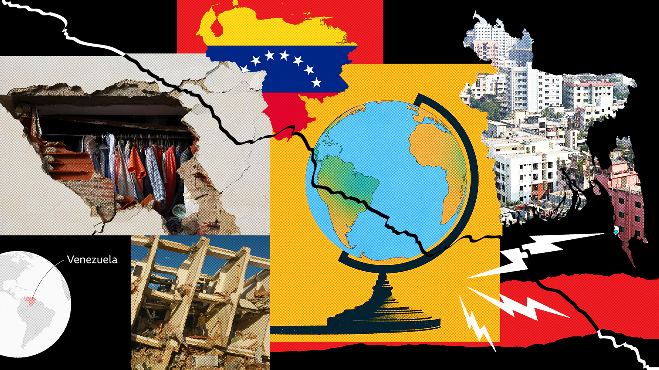
Geological and geotechnical components are already included in the Environmental Impact Assessments (EIAs) for major development projects. While EIAs provide a broad evaluation of environmental, social and economic impacts, detailed geological assessments serve as a valuable complement. They offer focused, in-depth insights into subsurface conditions, geohazards, ground stability, and long-term site behaviour, strengthening the technical foundation of EIAs and supporting more resilient project outcomes. Economic analyses consistently show that early investment in geological understanding is far more cost-effective than post-disaster recovery.
Need for collaborative and phased action
A deeper integration of geological knowledge across all our development projects is needed through partnerships among government agencies, academia, the private sector, and communities. This can happen in several phases. In the short term, spanning one to two years, high-risk areas such as the Chattogram hills, urban growth centres, and coastal zones should be prioritised, with multidisciplinary geological assessments for major infrastructure, housing, and commercial projects.
At the same time, the national building code must be strictly enforced, especially the provisions related to geological and geotechnical investigations. The authorities should run public awareness campaigns on safe construction and disaster preparedness and invest strategically in human resources and technological infrastructure to enhance the capacity for timely geological assessments.
In the medium term, spanning two to five years, the government should consider utilising AI tools. Advancements in AI present a valuable opportunity to enhance existing geoscientific systems through dynamic, web-based platforms featuring regularly updated data. This forward-looking approach can further strengthen policy planning, improve disaster preparedness, and support more informed decision-making by increasing accuracy, accessibility, and responsiveness. Strengthening collaboration among geologists, engineers, and planning authorities would ensure that geological knowledge translates into safer, more resilient infrastructure.
Assessment of critical minerals, on the other hand, will offer a valuable opportunity to unlock the economic potential of the country’s subsurface resources.

In the long term, geological, geotechnical, geochronological, geophysical and geochemical mapping should be expanded nationwide, with all related datasets regularly updated. Additionally, geological assessment should be progressively institutionalised as a standard requirement for major development projects, particularly in high-risk zones, while aligning with and strengthening the provisions of the national building code. Technical capacity should be developed through training, international partnerships, and knowledge exchange. Outcomes should be monitored and evaluated to refine approaches, ensuring alignment with the SDGs and national development visions.
All of us—landowners, engineers, architects, urban planners, developers, contractors, policymakers, and geoscientists—share a collective responsibility. By prioritising multidisciplinary geoscientific studies and evidence-based planning, Bangladesh can create safer homes, stronger infrastructure, and a more resilient and prosperous future for the generations to come. The country’s remarkable disaster resilience already provides a strong foundation for that. Extending this resilience to other geological and climate risk-related hazards through collaborative, evidence-based approaches is a vital step towards sustainable and inclusive development.
Rajib Kumar Saha is a PhD candidate in geology under the School of the Environment at Washington State University in the US, and assistant director (geology) at the Geological Survey of Bangladesh. He can be reached at rajibkumar.saha@wsu.edu.
Views expressed in this article are the author's own.
Follow The Daily Star Opinion on Facebook for the latest opinions, commentaries, and analyses by experts and professionals. To contribute your article or letter to The Daily Star Opinion, see our guidelines for submission.
 For all latest news, follow The Daily Star's Google News channel.
Comments