


Venezuela’s deadly earthquakes are a wake-up call for Dhaka

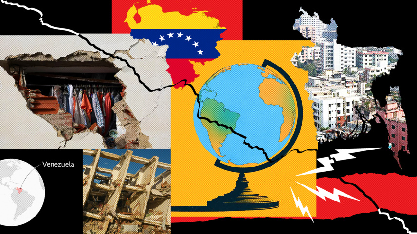
Every year, more than 1,000 earthquakes of magnitude 5 or higher occur around the world. While scientists understand why earthquakes happen, the bigger challenge is figuring out when and why the small quakes escalate into massive, destructive ones. Most importantly, what can we learn from the destruction? By studying how underground ruptures generate violent shaking, how that shaking damages buildings, and how soil and rock either amplify or reduce the impact, we can use scientific insights to guide practical steps that help save lives.
Most of the time, people see earthquake complexity reduced to a single number—the magnitude—reported in the news. Pragmatic research requires greater focus on tectonic plate collisions and subduction, hidden earthquake sources, and how seismic waves travel through the soft, water-saturated soils of the Bengal delta, where Bangladesh lies. To protect millions of people in this vulnerable region, the country must launch a comprehensive, multi-disciplinary effort using state-of-the-art technology. However, significant challenges remain, including complex geology, active tectonics, climate change impacts, unplanned urbanisation, and limited technical capacity. A recent study jointly conducted by Rajdhani Unnayan Kartripakkha (Rajuk) and Bangladesh University of Engineering and Technology (Buet) revealed that more than half of Dhaka’s soil is highly susceptible to liquefaction. The study findings warn that the greatest danger may not come from the shaking above ground, but from the earth itself giving way and failing to support the capital’s weight.

Fortunately, there are several measures that can alleviate the heightened risk of earthquake-related disaster in Dhaka.
First and foremost, the Bangladesh National Building Code (BNBC), a comprehensive “life-saving system,” must be enforced without exception. The recent devastating earthquakes in Venezuela tragically demonstrated how devastating the consequence of lax enforcement of safety rules can be: more than 3,500 have been killed and thousands more injured amid widespread destruction. In Bangladesh, particularly in Dhaka, a key practical measure would be to apply the highest level of scrutiny when approving new constructions. Deploying dedicated teams for spot investigation during construction as well as subsurface condition assessment is highly recommended.
Second, existing buildings must be assessed for rapid vulnerability. Using available survey data, the relevant authorities should create a public risk map and a priority list of vulnerable structures. Retrofit efforts should focus on common weak points, such as soft-storey floors (a common weakness in buildings with open ground floors), by adding shear walls, bracing, strengthening foundations, and improving connections. Many of these upgrades are relatively low-cost compared to the devastating consequences of collapse. Simple, practical retrofit guidelines should be developed for typical buildings in Dhaka, such as reinforced concrete frames. A promising low-cost solution comes from Purdue University researchers in the US, who tested triangular metal haunches attached with adhesive anchors. This technique is effective, affordable, and minimally invasive, allowing buildings to remain occupied during retrofitting.
Small initiatives like this can be implemented as a pilot project in Dhaka, based on expert recommendations. All buildings should undergo immediate safety inspections, with the highest priority given to schools, hospitals, universities, government offices, factories, high-rise buildings, and other critical infrastructure. A simple green-yellow-red classification system can be used to quickly identify safe structures, those requiring retrofitting, and those requiring immediate demolition.
Equally important is securing funds for retrofitting and rapid disaster response. Bangladesh can draw inspiration from innovative financial models. The Asian Development Bank (ADB) recently approved a programme for Kyrgyzstan and Tajikistan that provides fast budget support for moderate disasters, helping them manage frequent events without draining resources. Incentives like tax breaks, subsidised loans, and faster approvals for compliant retrofits can encourage private owners to act. Public-private partnerships with donors can also help fund the strengthening of critical public infrastructure.
Third, regular “drop, cover, hold on” drills should be mandatory at educational institutions, offices, factories, and public gathering spots. Declaring a national earthquake preparedness day can help build lasting public awareness. Awareness campaigns, supported by real-time SMS alerts, community volunteers and the media, should reach out to educate and raise awareness among citizens about simple preparedness measures: securing furniture, preparing emergency kits, creating family plans, and knowing how to shut off utilities.
In the event of a major earthquake, some general steps can be taken to ensure maximum safety. The first step would be putting NIDs, passports, cash, credit cards, essential medications, other vital documents, dry food, and a water bottle in a small, easy-to-grab bag in advance. It should be stored in a place that can be quickly accessed when the tremor hits.
During an earthquake, people should stay calm and move downstairs immediately using the stairs—never an elevator. Elderly family members, children, the sick, and pets should be moved to safety first. Once outside, people should move quickly to an open area away from buildings, walls, power lines, and trees. Those on the ground floor should head straight to an open space. People should also turn off gas lines and electrical points to prevent fires.
When the earthquake is over, aftershocks follow, which can happen over the following hours or even days. People must stay alert and be ready to take shelter if needed. Injured people should be taken to the nearest hospital or medical centre immediately rather than waiting for rescue. It is also important to provide comfort and reassure family members, neighbours, or others experiencing trauma, shock, or panic.
In the event of a significant earthquake striking Dhaka, satellite technology could be crucial for facilitating immediate response efforts. Just hours following the Venezuela earthquake, the European Union’s Copernicus satellite system was activated to map affected regions, quickly identifying the buildings that suffered damage. In Dhaka, such a technology could swiftly scan the city to pinpoint collapsed or severely damaged structures. Rescue teams could prioritise response efforts in the most affected areas, deliver emergency supplies more effectively, and determine accessible routes for relief personnel. However, satellite imaging has its limitations as it primarily detects visible external damage and may overlook internally compromised buildings that may still appear intact. For this reason, it should be utilised as a rapid initial assessment tool to inform rather than replace on-the-ground evaluation and rescue operations.
Whenever an earthquake occurs, the media as well as the public in Bangladesh primarily rely on the United States Geological Survey (USGS) for official information on magnitude and location. This is because the Geological Survey of Bangladesh (GSB) currently lacks the formal mandate to issue such authoritative statements. GSB already has a capable team of scientists conducting important research on the country’s geology and seismic activities. However, to fully analyse earthquake data and monitor seismic events in real time, they need four critical things: i) a clear official mandate; ii) greater institutional support; iii) expanded research opportunities; and iv) access to cutting-edge equipment. Updating the national policy to empower GSB as the country’s central nodal institution for earthquake monitoring and research will build public trust and ensure that disaster preparedness is guided by homegrown scientific expertise.
The installation of an accelerograph network that measures peak ground acceleration (PGA) and peak ground velocity (PGV) is essential for strengthening earthquake resilience in Dhaka in particular and Bangladesh as a whole. This data will enable the creation of accurate seismic hazard maps and ultimately support the refinement of the BNBC and Detailed Area Plan (DAP).
Without urgent actions, a major quake could result in a catastrophic death toll in Dhaka. Long periods of seismic quietness often lead to a loss of urgency and motivation for serious preparation. Now is the time for both citizens and policymakers to act, because once the ground begins to shake violently, it could already be too late.
Rajib Kumar Saha is PhD candidate under the School of the Environment at Washington State University in the US, and assistant director (geology) at the Geological Survey of Bangladesh. He can be reached at rajibkumar.saha@wsu.edu.
Views expressed in this article are the author's own.
Follow The Daily Star Opinion on Facebook for the latest opinions, commentaries, and analyses by experts and professionals. To contribute your article or letter to The Daily Star Opinion, see our guidelines for submission.
 For all latest news, follow The Daily Star's Google News channel.
Comments